From a marine perspective, drones have a lot of potential. Consequently, we are starting to see saltwater-proof drones that can land and take off from the sea (see Issue 154). They offer the opportunity to scout ahead and take aerial photos, and fishermen have the ability to see in detail where the big catches are hanging out.
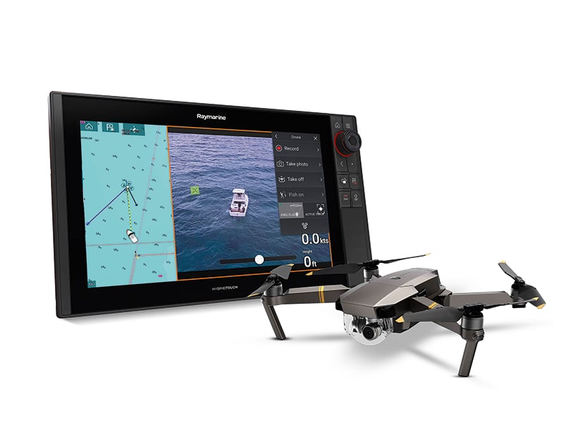
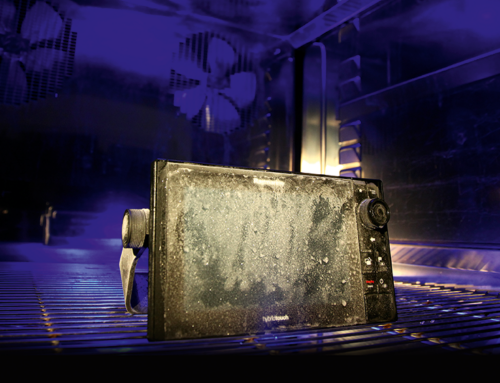
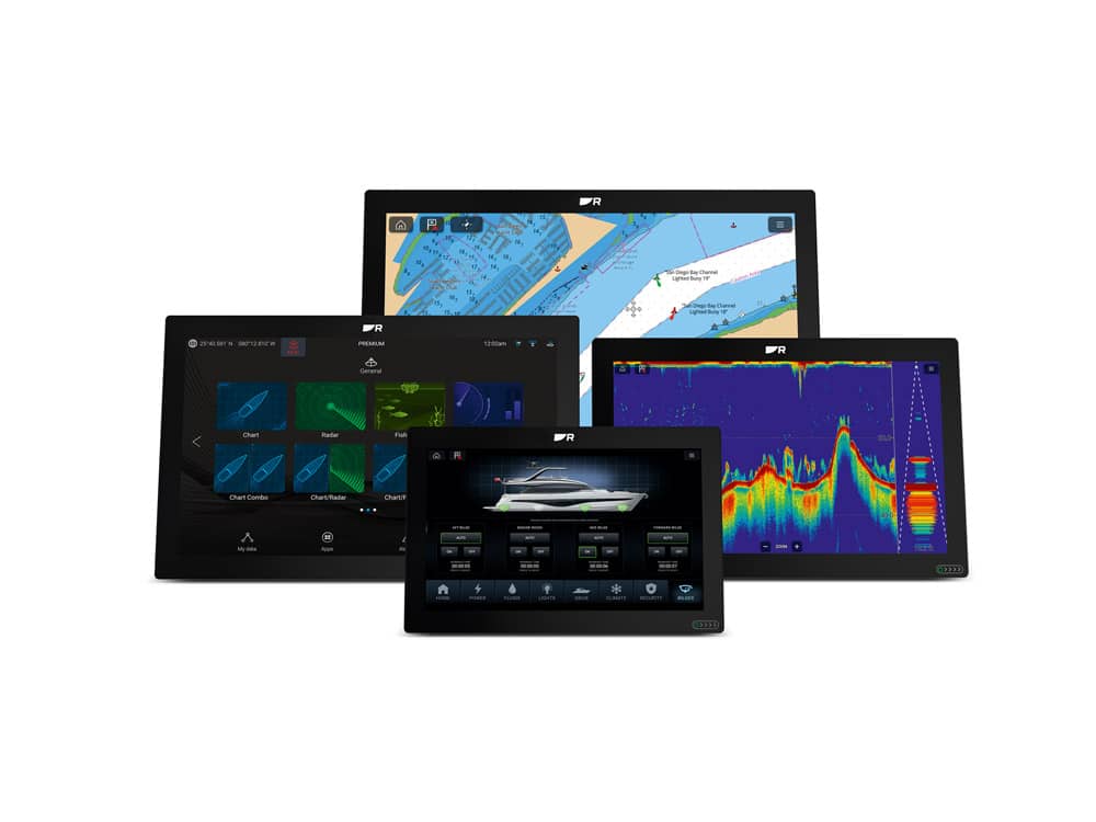
Raymarine have taken this on board with their LightHouse 3.6 software update. Downloaded into any Axiom plotter, the Axiom UAV app enables you to fly the Mavic Pro drone via touch screen controls while seeing what it sees. The Mavic Pro, though not waterproof, is one of the leading drones on the market, capable of recording in high-resolution 4K video. It can fly and hover in blustery conditions and has a top speed of 35 knots, while being able to take steady photos and video footage at up to 26 knots. It should be pointed out that you will have to manually land the Mavic, so you will need a suitable landing pad to do this. I say this in particular because I once witnessed somebody using the grab technique, where they hovered the drone, then grabbed it while shutting it down. The drone got confused and was having none of it (it was not a Mavic).
There are many great features courtesy of this UAV app specifically tailored for the boater:
‘Virtual Tuna Tower’ enables you to use the UAV as a virtual tuna tower. Launch the Mavic Pro and use the UAV camera to scout for fish in the water ahead of the boat. When fitted with an optional polarised lens, the Mavic Pro’s 4K UHD camera system can see game fish, bait fish, weed lines, sandbars, reefs and more.
‘Capture the Action’ is literally that. Engage the ‘Fish-On’ feature and the drone will instantly take off, start recording and then automatically fly the camera in an orbit around the boat while you land a prize-winning catch. On-screen controls let you fine-tune the UAV’s orbit, speed and camera angle.
‘Scout Ahead’ with ‘UAV Goto’ is a handy feature. With this, you can fly to points of interest, waypoints or chart locations, or you can use the UAV Goto command on the Axiom to send the drone out on a mission. Using GPS, the Mavic will fly to the precise location you selected and hover on station. While airborne, you can see the UAV on your navigation chart along with its course, speed, altitude and camera orientation ‒ ideal for checking out a busy location in advance.
With any UAV you need to stay on top of things, which ‘Real-Time UAV Telemetry’ enables. In this case, the app provides real-time telemetry and status for the drone while in flight. Altitude, distance, speed, battery level, flight time remaining, signal levels and more are all clearly displayed on the Axiom screen.
Finally, there is the ‘Automatic Return to Boat’ facility, which will bring the drone back to your vessel, then hover it at a programmable safe altitude and distance for the operator to land it.
The Axiom UAV app is a game-changing feature for a chartplotter, even by today’s high-tech standards, especially as it is free. Further details can be found at: http://www.raymarine.com/multifunction-displays/lighthouse3/v3-6/
Related Posts
