Axopar 38 unveiled at Boot Düsseldorf 2026
Axopar introduces the all-new Axopar 38, debuting at Boot Düsseldorf 2026 and setting new benchmarks for modularity, comfort and drivability.
Reeds Nautical Almanac – along with Reeds iPad Almanac and Reeds Digital Almanac for Mac and PC – provides all the information required to navigate Atlantic coastal waters around the UK, Ireland, the Channel Islands and the entire European coastline.
The 2019 edition continues the Almanac’s tradition of year-on-year improvement and meticulous presentation of all the data required for safe navigation. Now with an improved layout for easier reference and with over 45,000 changes, the 2019 edition has been updated throughout and includes: 700 harbour chartlets; tide tables and tidal streams; buoyage and lights; 7,500 waypoints; invaluable passage notes; distance tables; radio, weather and safety information; a first-aid section and a free marina guide.
Also available are free supplements of up-to-date navigation changes from January to June at www.reedsnauticalalmanac.co.uk.

Axopar introduces the all-new Axopar 38, debuting at Boot Düsseldorf 2026 and setting new benchmarks for modularity, comfort and drivability.


Greenline Yachts presents the new Greenline 42 at boot Düsseldorf 2026, combining improved efficiency, solar power and unprecedented owner customisation…


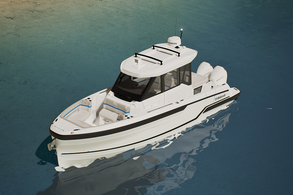
Wellcraft expands its range with three new 28-foot models, combining performance, versatility and social design for modern boating adventures.


Quarken premieres a twin-engine upgrade for its 27 range at boot Düsseldorf, bringing enhanced control, manoeuvrability, and confidence on the…