Paul Glatzel discusses the benefits as we continue to move steadily from paper to electronic charts …

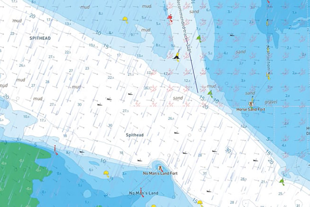
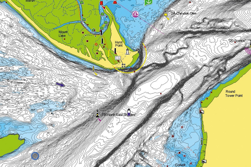
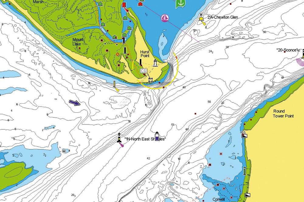
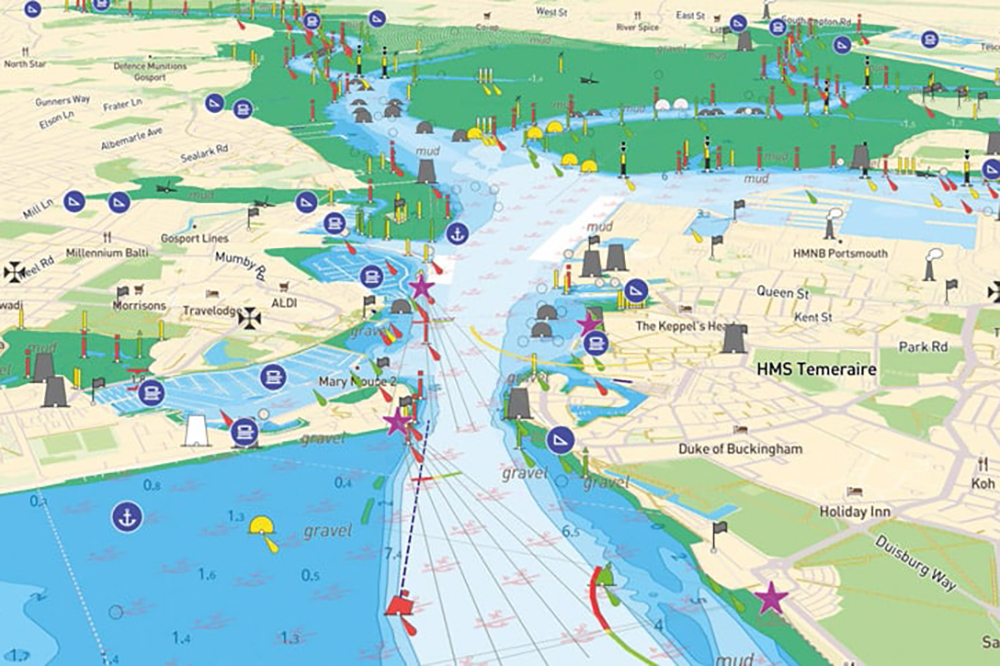
Recently the UK Hydrographic Office announced that after 2025 they would no longer produce any paper charts. That date has been pushed back and other chart manufacturers (such as Imray) maintain that they will carry on printing, but in reality, the writing seems to be on the wall for paper charts. Jumping on a wide variety of boats as I do as an instructor, I still find such charts, but they tend to be just for the local area and are usually pretty old and rarely up to date. Without doubt, there’s a proportion of us that love the tactile feel of paper charts, and certainly there are real benefits to having them, but the direction of travel is very much toward electronic charts in all their forms, and the pace of that travel is very fast.

While the direction of travel may be clear, what is less so is how all this will play out: what is the balance between apps on smartphones and tablets versus charts loaded onto fixed MFDs (multifunction displays)? What levels of integration exist between these apps and MFDs? And what functionalities are we seeing already and likely to see going forward?

For a number of years, the ‘go-to’ product for many boaters has been the Navionics app, which is available across both the Apple and Android platforms. It’s fair to say that Navionics was well ahead of the curve, and with its charts being packaged with Raymarine MFDs, the ability to view charts on a Navionics app and see those same charts on the Raymarine unit was great. For those that wanted to, routes planned on the app could be seamlessly transferred to the Raymarine unit as the tablet connected via Wi-Fi to the MFD – clever and relatively simple to achieve. When we did the Powerboat & RIB Round Ireland RIB Challenge in 2013 when I had every Imray chart on board for the south coast of the UK and all the way round Ireland, I never used them, but rather worked with Navionics on my iPad and the Raymarine RayControl app (which mirrored the Raymarine screen to my iPad), allowing me to run navigation/radar from the back seat – again, clever and simple.

Moving away from paper charts to electronic charts

While there is no doubt that in 10 years the Navionics app has moved on and offers great features like ‘SonarChart’ and ‘Automatic Routing’ (more on both later), the sale of Navionics to Garmin has in some ways hindered that progress. Raymarine now use their own LightHouse charts, which I really like, but they don’t have their own app-based version of the product, so the planning of the route needs to occur on the boat (there are some workarounds, but they aren’t simple). In my opinion, that’s a regressive step, and while, if you are minded to, you can still purchase Navionics and load out onto the Raymarine, inevitably the latter want you to buy their package and price it accordingly – so all bar a few committed souls will do so.

So what of the new kids on the block? The most prominent that I’ve experienced and am impressed with is Savvy Navvy. Created by sailors previously employed by Google, they market the app as ‘Google Maps for boats’. While Navionics and other products have long contained tidal height and stream information, what Savvy Navvy does differently is use this data to plan a route while factoring in tidal stream – thus calculating a ‘course to steer’ in boating terms. Given that Savvy Navvy also takes into account the weather, the calculated course factors this in too – clever! While this is great for cross-Channel passages where the tide is on your beam, for us in our smaller powerboats making coastal trips this can make route planning in Savvy Navvy more difficult than it needs to be. I’m told by Savvy Navvy that this is being worked on, and that while the app seemed initially to be aimed at the sailing fraternity, it will evolve to better address these aspects for our world.

One thing I really love about the app is the ability to move from ‘plan view’ on the app (just like looking at a paper chart) to viewing a harbour as if you are travelling into it passing between the buoys. At a recent RYA event, I demoed a number of these apps as a means to create discussion among a group of instructors, and without exception this was their number one feature. The way it allows us to visualise an entry into a new port or harbour is excellent, and it starts to deal with the question that keeps coming up about how, as we move on from paper charts, we create and execute pilotage plans. Where Savvy Navvy fares less well is in the transfer of the routes you have produced to the MFDs, and while this is feasible for most people, it won’t be straightforward. This is an area where I think many of the products could do better.

These challenges in integrating/linking the apps to the MFDs do beg the question: why bother? Why not run distinct systems? My opinion is that if I have planned on the app, I want that planning on my MFD so as to give me redundancy/backup. That’s my preference and it seems logical. This leads neatly into a point often made: what if my plotter fails? What if the GPS is jammed? Yes, these are fair questions, but in truth, I feel they are less of an issue than many people make them out to be. The reality is that the whole world (including Waitrose and Amazon) relies on GPS-type systems, and most MFDs now calculate positions not just from the American GPS system but from other systems too. Will they all fail at once? Your tablet or MFD could fail, but in reality, if I am doing a passage I am likely to have two tablets, one phone and an MFD, all with charts loaded and available offline. That’s actually far more than the one paper chart and pretty basic hand-held GPS unit I navigated with for years. From speaking to the likes of Savvy Navvy, one feature that would be pretty easy to add is that if a GPS-derived position was not available, then provided the charts were downloaded, the app would be able to project forward your position as it would know your boat speed, course and time when the signal was lost. This is exactly what we’d do on a paper chart. In short, what’s the issue?

One of the other features that’s progressing in an interesting way is the area of ‘auto-routing’. We are all so used to our car satnav systems telling us which way to turn that boaters expect that functionality too. In the last six to 12 months, I have seen real progress with the routes that the apps and charts are giving, with better adherence to channels and routes that are more likely to be the ones that I would choose. With apps like Savvy Navvy integrating tide and weather, there’s the opportunity to create routes giving clearance from areas of disturbed water around shallower areas or headlands. This would be a clever and beneficial step forward.

One other important feature that gets missed on Navionics is the ‘SonarChart’ feature. This is a great feature that in effect ‘crowdsources’ depth information from your MFD’s transducer and uploads it to Navionics, making it available to all. The benefit to all of us is that in busy areas the seabed is getting remapped on an ongoing basis by all of us – clever and potentially useful.

Navionics and Savvy Navvy are by no means the only apps out there – and it’s a fast-moving area – but they do seem to represent two of the best. Here at PBR, we’d love to hear from you as we want your views to feed into the development of these products. If we can get some ideas together, we’ll share them with the teams at the developers. Finally, what we would urge you to do is to have a play: download these apps, see which ones you like, plan some routes and push the boundaries a bit as you may be surprised how easy some of it is and how enjoyable it can be exploring new areas from the comfort of an app.

Keep safe and have a great time afloat!

Paul Glatzel is an RYA powerboat and personal watercraft trainer and wrote the RYA Powerboat Handbook and the RYA Advanced Powerboat Handbook. He runs Powerboat Training UK and Marine Education in Poole and Lymington.

www.powerboattraininguk.co.uk & www.marine-education.co.uk

Premier Marinas Dry Stack - Trafalgar Wharf

MDl Dry Stack
Henri Lloyd

Yamaha - The most exciting way to get from A to B campaign
Quarken 2023
Boatfolk May 2023