Monaco cements its role as the heart of international yachting
Yacht Club de Monaco anchored a packed September calendar, from a sustainable marinas summit to the 35th Monaco Yacht Show,…
Advertisement






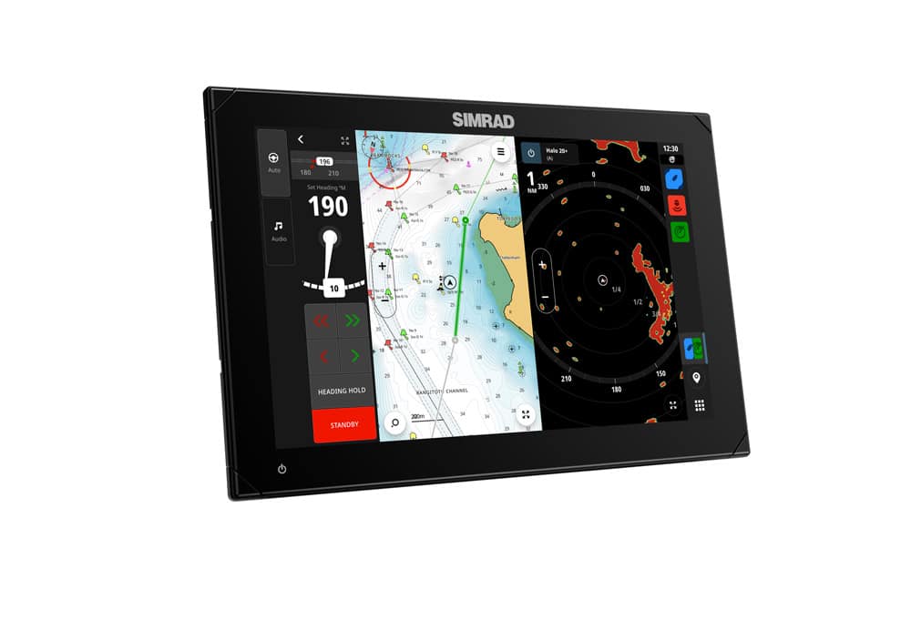
The Genesis layer allows all users across the world to see C-MAP’s extensive crowdsourced database of marine mapping data, which was reviewed and quality controlled by C-MAP engineers before being published to the public as an option to view on the app’s charts.
Max Cecchini, Executive Vice-President of C-MAP, said: ‘The addition of Genesis on the C-MAP app is just another enhancement that allows users to get the best possible mapping information so they can fish better and know more about what lies beneath the waters.’
The Genesis layer itself adds more than 30,000 submissions to C-MAP charts and can be especially useful for small inland lakes that government cartography agencies have not reached or for which official data has not been updated for decades.

This content was created by the Powerboat & RIB editorial team.

Yacht Club de Monaco anchored a packed September calendar, from a sustainable marinas summit to the 35th Monaco Yacht Show,…
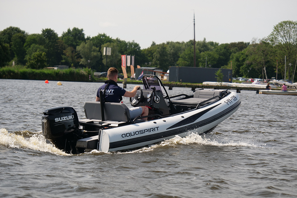
AquaSpirit UK unveiled its new 370 RIB at Southampton International Boat Show, showcasing the model's space-saving D-Tube hull design and…
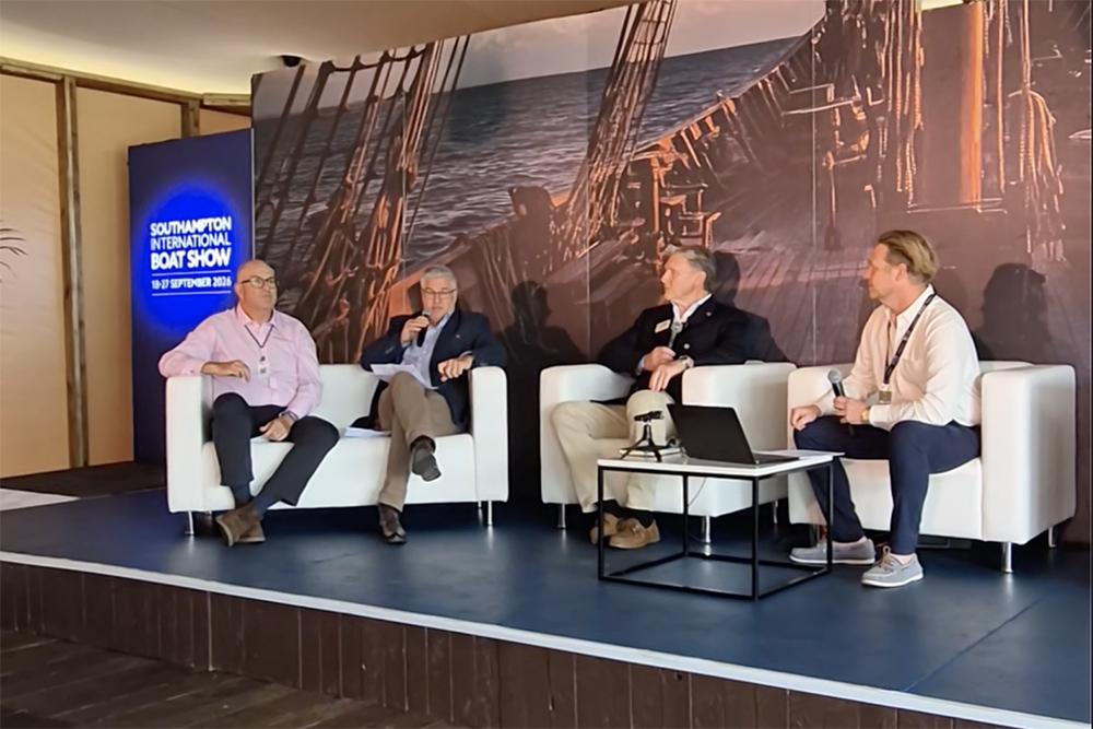
Marine and insurance experts at Southampton Boat Show examined how routine boating activities contribute to ocean pollution, and the practical…
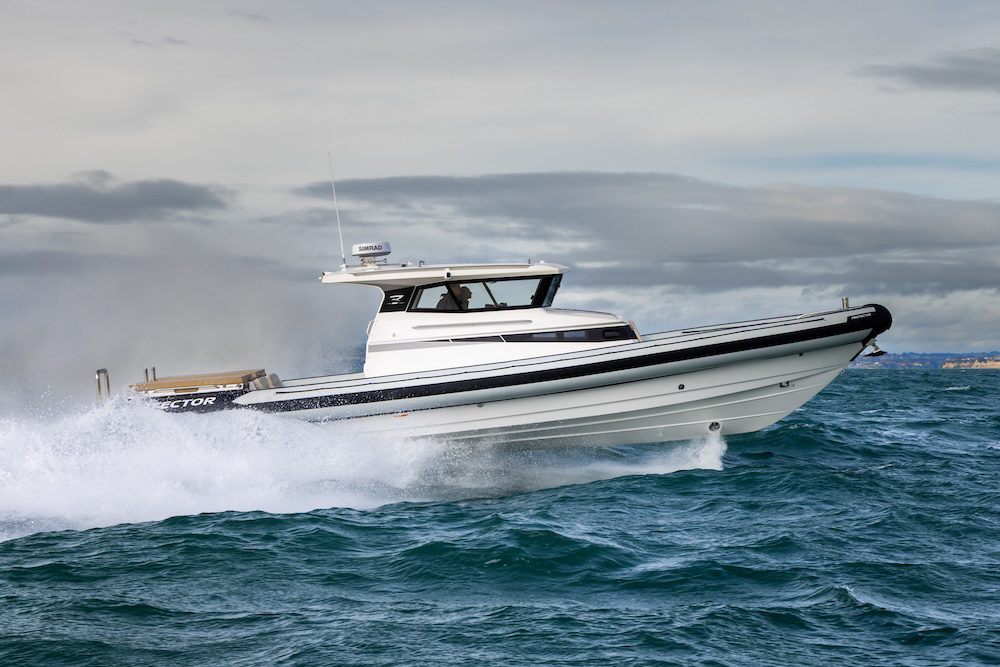
The first UK Protector Targa 410 Expedition has arrived at Ancasta's Hamble base, a mission-specific chase boat built for the…